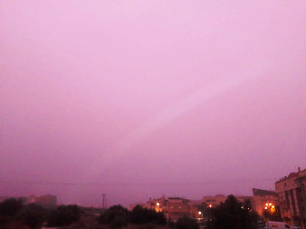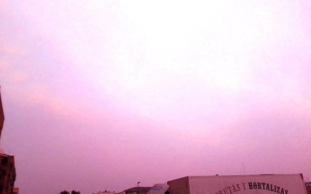
Aemet's models predict the arrival of suspended dust, known as calima, which began yesterday and is expected to last until Monday.
Apparently, the intrusion of an air mass of Saharan origin began yesterday, Saturday, February 20, and could cause a concentration of suspended particles that, according to the models consulted, will reach a range of between 10 and 160 µg/m3 (micrograms per cubic meter) in our area.
This, like two weeks ago, could cause dust to appear on the surface, leaving its mark on objects on the street. The sky, as shown in the images, could appear reddish or brown. If it rains a little during Sunday night, this precipitation would be in the form of mud.
Therefore, it is advisable not to engage in outdoor physical exercise, and it is advisable to take the necessary measures for people with chronic respiratory problems.